


")


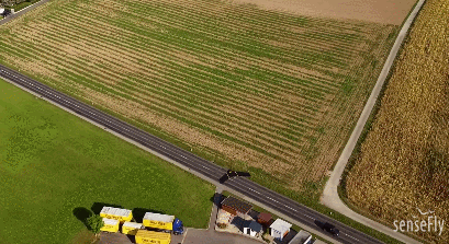
Meet the eBee Plus: a photogrammetric mapping drone by senseFly for surveying and geospatial applications. It has built-in RTK/PPK functionality and a senseFly S.O.D.A. RGB camera. The drone can map up to 2.2 square kilometers in a single flight. It can fly for up to 59 minutes.
More gadgets like this: here
The eBee Plus Drone - Aerial Efficiency, Photogrammetric Accuracy

In eMotion 3, you have a drone flight and data management software for managing and monitoring missions. More information is available here.
**Disclaimer: Our posts may feature aff links. As an Amazon Associate, we earn from qualifying purchases. Please read our disclaimer on how we fund this site.


