


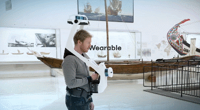
Meet the NavVis VLX: a wearable indoor mobile mapping system that can capture data in complex environments such as construction sites. It uses Velodyne lidar sensors for accurate 3D measurements. The NavVis mobile mapping software uses smart SLAM algorithms to ensure high quality data.
Hot Computer Stuff
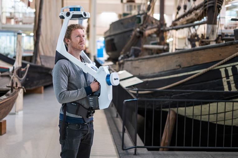
This wearable mapping system is compact and ergonomically designed. The below video summarizes the features:
Introducing NavVis VLX

[HT]
**Disclaimer: Our posts may feature aff links. As an Amazon Associate, we earn from qualifying purchases. Please read our disclaimer on how we fund this site.


